Donndorf | |
|---|---|
 Coat of arms | |
Location of Donndorf | |
 Donndorf 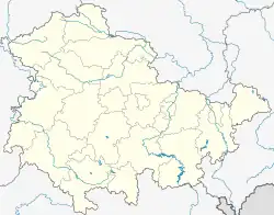 Donndorf | |
| Coordinates: 51°17′34.65″N 11°22′15.7″E / 51.2929583°N 11.371028°E | |
| Country | Germany |
| State | Thuringia |
| District | Kyffhäuserkreis |
| Town | Roßleben-Wiehe |
| Subdivisions | 2 |
| Area | |
| • Total | 11.51 km2 (4.44 sq mi) |
| Elevation | 120 m (390 ft) |
| Population (2017-12-31) | |
| • Total | 783 |
| • Density | 68/km2 (180/sq mi) |
| Time zone | UTC+01:00 (CET) |
| • Summer (DST) | UTC+02:00 (CEST) |
| Postal codes | 06571 |
| Dialling codes | 034672 |
| Vehicle registration | KYF |
Donndorf is a village and a former municipality in the district Kyffhäuserkreis, in Thuringia, Germany. Since 1 January 2019, it is part of the town Roßleben-Wiehe.
References
This article is issued from Wikipedia. The text is licensed under Creative Commons - Attribution - Sharealike. Additional terms may apply for the media files.