| Latežeris | |
|---|---|
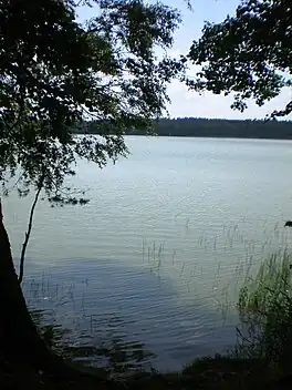 View from the eastern side side | |
 Latežeris | |
| Coordinates | 53°59′N 24°5′E / 53.983°N 24.083°E |
| Primary outflows | Ratnyčia (river) |
| Basin countries | Lithuania |
| Max. length | 2.0 km (1.2 mi) |
| Max. width | 900 m (3,000 ft) |
| Surface area | 85 ha (210 acres)[1] |
| Average depth | 5.1 m (17 ft)[1] |
| Settlements | Latežeris |
Latežeris is a lake located near Latežeris village, 7 kilometers south-east of Druskininkai. The lake is a popular spot for fishing. The average depth is around 5 meters.[1]
References
This article is issued from Wikipedia. The text is licensed under Creative Commons - Attribution - Sharealike. Additional terms may apply for the media files.