San Cristóbal | |
|---|---|
.svg.png.webp) Flag .png.webp) Coat of arms | |
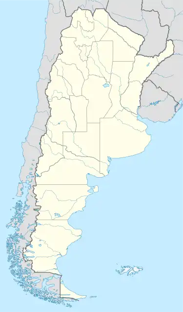 San Cristóbal Location of San Cristóbal in Argentina | |
| Coordinates: 30°19′S 61°14′W / 30.317°S 61.233°W | |
| Country | |
| Province | |
| Department | San Cristóbal |
| Government | |
| • Mayor | Edgardo L. Martino (Socialist Party) |
| Area | |
| • Total | 652 km2 (252 sq mi) |
| Elevation | 67 m (220 ft) |
| Population (2010 census) | |
| • Total | 14,389 |
| • Density | 22/km2 (57/sq mi) |
| Time zone | UTC-3 (ART) |
| CPA base | S3070 |
| Dialing code | +54 3408 |
San Cristóbal is a city in the center-north of the province of Santa Fe, Argentina, 179 km north-northwest from the provincial capital. It had about 14,000 inhabitants at the 2010 census [INDEC] and it is the head town of the San Cristóbal Department.
The town was founded in 1890 and the attained the status of comuna (commune) on 1894-01-21. It became a city on 1959-03-01.
References
- Municipality of San Cristóbal - Official website.
- Municipal information: Municipal Affairs Federal Institute (IFAM), Municipal Affairs Secretariat, Ministry of Interior, Argentina. (in Spanish)
- "San Cristóbal, Santa Fe". Santa Fe provincial government.
This article is issued from Wikipedia. The text is licensed under Creative Commons - Attribution - Sharealike. Additional terms may apply for the media files.