Bystřice pod Lopeníkem | |
|---|---|
 Belfry | |
 Flag  Coat of arms | |
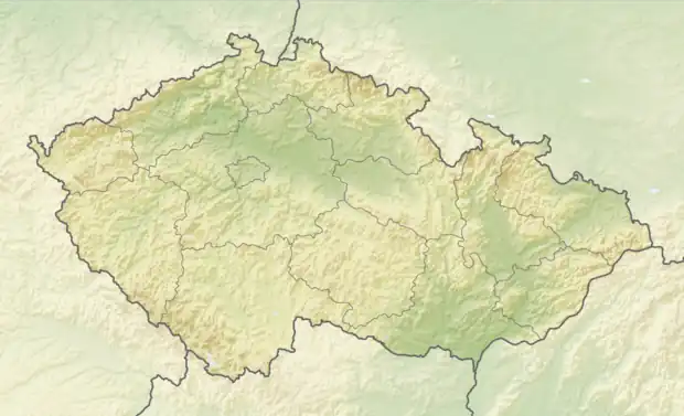 Bystřice pod Lopeníkem Location in the Czech Republic | |
| Coordinates: 48°58′29″N 17°45′51″E / 48.97472°N 17.76417°E | |
| Country | |
| Region | Zlín |
| District | Uherské Hradiště |
| First mentioned | 1405 |
| Area | |
| • Total | 13.43 km2 (5.19 sq mi) |
| Elevation | 365 m (1,198 ft) |
| Population (2023-01-01)[1] | |
| • Total | 843 |
| • Density | 63/km2 (160/sq mi) |
| Time zone | UTC+1 (CET) |
| • Summer (DST) | UTC+2 (CEST) |
| Postal code | 687 55 |
| Website | www |
Bystřice pod Lopeníkem is a municipality and village in Uherské Hradiště District in the Zlín Region of the Czech Republic. It has about 800 inhabitants.
Bystřice pod Lopeníkem lies approximately 26 kilometres (16 mi) south-east of Uherské Hradiště, 31 km (19 mi) south of Zlín, and 272 km (169 mi) south-east of Prague.
References
Wikimedia Commons has media related to Bystřice pod Lopeníkem.
This article is issued from Wikipedia. The text is licensed under Creative Commons - Attribution - Sharealike. Additional terms may apply for the media files.