Deutsch Schützen-Eisenberg | |
|---|---|
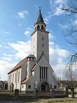 Parish Church of the Virgin Mary | |
 Coat of arms | |
 Location within Oberwart district | |
 Deutsch Schützen-Eisenberg Location within Austria | |
| Coordinates: 47°10′N 16°26′E / 47.167°N 16.433°E | |
| Country | Austria |
| State | Burgenland |
| District | Oberwart |
| Government | |
| • Mayor | Franz Wachter (ÖVP) |
| Area | |
| • Total | 28.43 km2 (10.98 sq mi) |
| Elevation | 227 m (745 ft) |
| Population (2018-01-01)[2] | |
| • Total | 1,126 |
| • Density | 40/km2 (100/sq mi) |
| Time zone | UTC+1 (CET) |
| • Summer (DST) | UTC+2 (CEST) |
| Postal code | 7474 |
| Website | www.eisenberg.at |
Deutsch Schützen-Eisenberg (Hungarian: Németlövő-Csejke, Croatian: Livio-Čjeka) is a municipality in Burgenland in the district of Oberwart in Austria.
It was the site of the 1945 Deutsch Schützen massacre.
Geography
Parts of the municipality are Deutsch-Schützen, Edlitz im Burgenland, Eisenberg an der Pinka, Höll, and Sankt Kathrein im Burgenland.
Population
| Year | Pop. | ±% |
|---|---|---|
| 1869 | 1,838 | — |
| 1880 | 1,908 | +3.8% |
| 1890 | 2,091 | +9.6% |
| 1900 | 2,214 | +5.9% |
| 1910 | 2,064 | −6.8% |
| 1923 | 1,937 | −6.2% |
| 1934 | 1,823 | −5.9% |
| 1939 | 1,829 | +0.3% |
| 1951 | 1,727 | −5.6% |
| 1961 | 1,515 | −12.3% |
| 1971 | 1,438 | −5.1% |
| 1981 | 1,338 | −7.0% |
| 1991 | 1,247 | −6.8% |
| 2001 | 1,189 | −4.7% |
| 2011 | 1,120 | −5.8% |
Politics
The municipal council has 19 positions, of which the ÖVP has 14, the SPÖ 3, and the FPÖ 2.
References
- ↑ "Dauersiedlungsraum der Gemeinden Politischen Bezirke und Bundesländer - Gebietsstand 1.1.2018". Statistics Austria. Retrieved 10 March 2019.
- ↑ "Einwohnerzahl 1.1.2018 nach Gemeinden mit Status, Gebietsstand 1.1.2018". Statistics Austria. Retrieved 9 March 2019.
This article is issued from Wikipedia. The text is licensed under Creative Commons - Attribution - Sharealike. Additional terms may apply for the media files.