Dr. Arturo Umberto Illia Airport Aeropuerto de Greneral Roca | |||||||||||
|---|---|---|---|---|---|---|---|---|---|---|---|
| Summary | |||||||||||
| Airport type | Public | ||||||||||
| Operator | Government of Río Negro | ||||||||||
| Serves | General Roca, Argentina | ||||||||||
| Elevation AMSL | 853 ft / 260 m | ||||||||||
| Coordinates | 39°00′00″S 67°37′15″W / 39.00000°S 67.62083°W | ||||||||||
| Map | |||||||||||
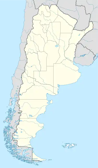 GNR Location of the airport in Argentina | |||||||||||
| Runways | |||||||||||
| |||||||||||
Dr. Arturo Umberto Illia (IATA: GNR, ICAO: SAHR) is an airport serving General Roca, a city in the Río Negro Province of Argentina. The airport is 4 kilometres (2 mi) northwest of the centre of the city.[1] It is named after Arturo Umberto Illia, the 34th President of Argentina. There are no regular flights to or from the airport, as of February 2012.[1]
See also
References
- 1 2 3 "Aeropuerto de Gral. Roca "Dr. Arturo Umberto Illia"" [Dr. Arturo Umberto Illia Airport]. Organismo Regulador del Sistema Nacional de Aeropuertos (ORSNA) (in Spanish). Archived from the original on 27 November 2012. Retrieved 28 February 2012.
- ↑ "Airport information for SAHR". World Aero Data. Archived from the original on 5 March 2019.
{{cite web}}: CS1 maint: unfit URL (link) Data current as of October 2006. - ↑ "General Roca Airport". Google Maps. Retrieved 21 June 2019.
External links
- SkyVector - General Roca Airport
- Airport information for General Roca Airport at Great Circle Mapper.
- Accident history for GNR at Aviation Safety Network
This article is issued from Wikipedia. The text is licensed under Creative Commons - Attribution - Sharealike. Additional terms may apply for the media files.