Edelsgrub | |
|---|---|
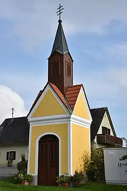 Chapel in Edelsgrub | |
 Coat of arms | |
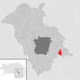 Location within Graz-Umgebung district | |
 Edelsgrub Location within Austria | |
| Coordinates: 47°2′0″N 15°36′0″E / 47.03333°N 15.60000°E | |
| Country | Austria |
| State | Styria |
| District | Graz-Umgebung |
| Government | |
| • Mayor | Ing. Gerhard Fuchs (ÖVP) |
| Area | |
| • Total | 7.12 km2 (2.75 sq mi) |
| Elevation | 460 m (1,510 ft) |
| Population (1 January 2016)[1] | |
| • Total | 707 |
| • Density | 99/km2 (260/sq mi) |
| Time zone | UTC+1 (CET) |
| • Summer (DST) | UTC+2 (CEST) |
| Postal code | 8302 |
| Area code | 03133 |
| Vehicle registration | GU |
| Website | www.edelsgrub.at |
Edelsgrub is a former municipality in the district of Graz-Umgebung in the Austrian state of Styria. Since the 2015 Styria municipal structural reform, it is part of the municipality Nestelbach bei Graz.[2]
Geography
Edelsgrub lies about 10 km east of Graz.
References
This article is issued from Wikipedia. The text is licensed under Creative Commons - Attribution - Sharealike. Additional terms may apply for the media files.