Township of Farmington | |
|---|---|
 Farmington Township's location in Washington County | |
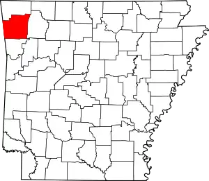 Washington County's location in Arkansas | |
| Coordinates: 36°3′1.9″N 94°15′23.2″W / 36.050528°N 94.256444°W | |
| Country | |
| State | |
| County | Washington |
| Area | |
| • Total | 4.8 sq mi (12 km2) |
| • Land | 4.8 sq mi (12 km2) |
| • Water | 0 sq mi (0 km2) |
| Elevation | 1,217 ft (371 m) |
| Population | |
| • Total | 3,605 |
| • Density | 751/sq mi (290/km2) |
| Time zone | UTC-6 (CST) |
| • Summer (DST) | UTC-5 (CDT) |
| ZIP code | 72730 |
| Area code | 479 |
| GNIS feature ID | 2406951[1] |
The Township of Farmington is one of thirty-seven townships in Washington County, Arkansas, USA.[2] As of the 2000 census, its total population was 3605.
Geography
According to the United States Census Bureau, Farmington Township covers an area of 4.8 square miles (12 km2); all land.[2]
Cities, towns, villages
Cemeteries
The township contains two cemeteries.
Major routes
References
- United States Census Bureau 2008 TIGER/Line Shapefiles
- United States Board on Geographic Names (GNIS)
- United States National Atlas
- 1 2 U.S. Geological Survey Geographic Names Information System: Farmington Township, Washington County, Arkansas
- 1 2 3 "Township of Farmington, Washington County, Arkansas." U.S. Census Bureau. Breakdown. Retrieved April 21, 2011.
External links
Places adjacent to Farmington Township, Washington County, Arkansas | ||||||||||||||||
|---|---|---|---|---|---|---|---|---|---|---|---|---|---|---|---|---|
| ||||||||||||||||
This article is issued from Wikipedia. The text is licensed under Creative Commons - Attribution - Sharealike. Additional terms may apply for the media files.