Králova Lhota | |
|---|---|
_08.JPG.webp) Church of Saint Sigismund | |
 Flag _CoA_CZ.jpg.webp) Coat of arms | |
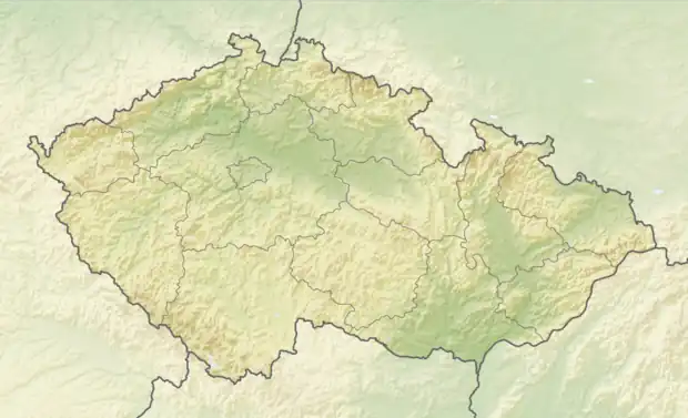 Králova Lhota Location in the Czech Republic | |
| Coordinates: 50°17′40″N 15°59′57″E / 50.29444°N 15.99917°E | |
| Country | |
| Region | Hradec Králové |
| District | Rychnov nad Kněžnou |
| First mentioned | 1356 |
| Area | |
| • Total | 5.25 km2 (2.03 sq mi) |
| Elevation | 265 m (869 ft) |
| Population (2023-01-01)[1] | |
| • Total | 256 |
| • Density | 49/km2 (130/sq mi) |
| Time zone | UTC+1 (CET) |
| • Summer (DST) | UTC+2 (CEST) |
| Postal code | 517 71 |
| Website | www |
Králova Lhota is a municipality and village in Rychnov nad Kněžnou District in the Hradec Králové Region of the Czech Republic. It has about 300 inhabitants.
Twin towns – sister cities
Králova Lhota is twinned with:[2]
 Kráľova Lehota, Slovakia
References
- ↑ "Population of Municipalities – 1 January 2023". Czech Statistical Office. 2023-05-23.
- ↑ "Úvodní strana: Partnerská obec" (in Czech). Obec Králova Lhota. Retrieved 2021-09-19.
Wikimedia Commons has media related to Králova Lhota (Rychnov nad Kněžnou District).
This article is issued from Wikipedia. The text is licensed under Creative Commons - Attribution - Sharealike. Additional terms may apply for the media files.