Lhota u Příbramě | |
|---|---|
 Chapel in the centre of the village | |
 Flag  Coat of arms | |
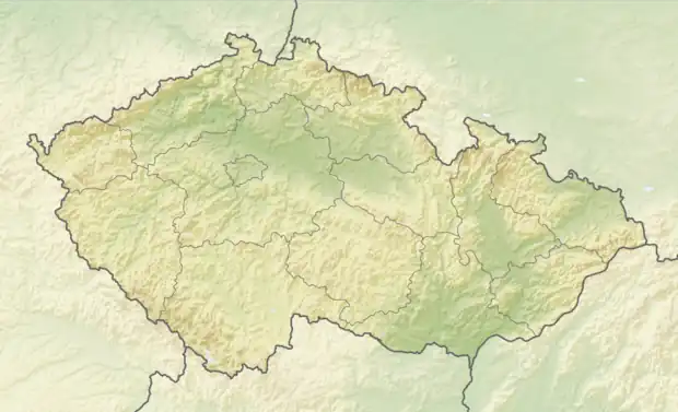 Lhota u Příbramě Location in the Czech Republic | |
| Coordinates: 49°42′51″N 13°58′50″E / 49.71417°N 13.98056°E | |
| Country | |
| Region | Central Bohemian |
| District | Příbram |
| First mentioned | 1292 |
| Area | |
| • Total | 3.51 km2 (1.36 sq mi) |
| Elevation | 487 m (1,598 ft) |
| Population (2023-01-01)[1] | |
| • Total | 525 |
| • Density | 150/km2 (390/sq mi) |
| Time zone | UTC+1 (CET) |
| • Summer (DST) | UTC+2 (CEST) |
| Postal code | 261 01 |
| Website | www |
Lhota u Příbramě is a municipality and village in Příbram District in the Central Bohemian Region of the Czech Republic. It has about 500 inhabitants.
References
Wikimedia Commons has media related to Lhota u Příbramě.
This article is issued from Wikipedia. The text is licensed under Creative Commons - Attribution - Sharealike. Additional terms may apply for the media files.