 | |
|---|---|
| قومی شاہراہ ٤٠ | |
| Quetta-Taftan Highway | |
| Route information | |
| Part of | |
| Maintained by NHA | |
| Length | 610 km (380 mi) |
| Major junctions | |
| North end | Lakpass near Quetta |
| South end | Taftan |
| Location | |
| Country | Pakistan |
| Highway system | |
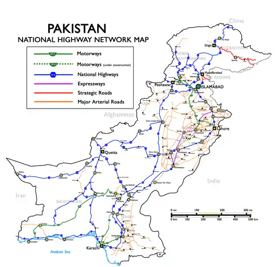
Map of National Highways of Pakistan also indicating N-40
The National Highway 40 (Urdu: قومی شاہراہ ۴۰) or the N-40 is one of Pakistan National Highway running from Lakpass near Quetta to the border town of Taftan via Naukundi in Baluchistan, Pakistan extending into Iran via Road 84.[1] It is a two lane highways with total length of 610 km.[2] It is maintained and operated by Pakistan's National Highway Authority.[3][4]
See also
References
- ↑ "More-border-crossing-points-pakistan-iran-agree-to-promote-trade". Dawn. 7 June 2011. Retrieved 4 December 2014.
- ↑ "N-40 (Quetta - Taftan)". National Highway Authority. Retrieved 4 December 2014.
- ↑ "NHA-Road-Network-Maps" (PDF). National Highway Authority (Pakistan). Archived from the original (PDF) on 20 June 2014. Retrieved 4 December 2014.
- ↑ "NHA-private-sector-to-build-highways". Daily Times. 30 March 2014. Retrieved 4 December 2014.
External links
| National Highways | ||
|---|---|---|
| Strategic Highways | ||
Pakistan articles | |||||||||||||||||||
|---|---|---|---|---|---|---|---|---|---|---|---|---|---|---|---|---|---|---|---|
| |||||||||||||||||||
| |||||||||||||||||||
| |||||||||||||||||||
| |||||||||||||||||||
| |||||||||||||||||||
| |||||||||||||||||||
This article is issued from Wikipedia. The text is licensed under Creative Commons - Attribution - Sharealike. Additional terms may apply for the media files.