Pastores | |
|---|---|
 San Pedro de Alcántara church | |
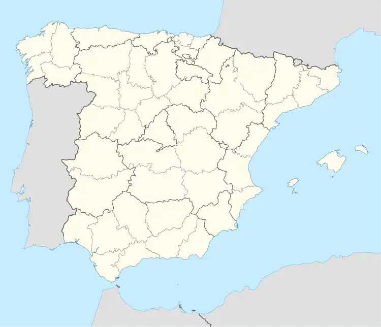 Pastores Location in Spain | |
| Coordinates: 40°30′54″N 6°30′34″W / 40.51500°N 6.50944°W | |
| Country | Spain |
| Autonomous community | Castile and León |
| Province | Salamanca |
| Comarca | Campo de Robledo |
| Government | |
| • Mayor | Ignacio Plaza Esteban (PP) |
| Area | |
| • Total | 12.69 km2 (4.90 sq mi) |
| Elevation | 764 m (2,507 ft) |
| Population (2018)[1] | |
| • Total | 56 |
| • Density | 4.4/km2 (11/sq mi) |
| Time zone | UTC+1 (CET) |
| • Summer (DST) | UTC+2 (CEST) |
| Postal code | 37512 |
Pastores is a municipality in the province of Salamanca, western Spain, part of the autonomous community of Castile-Leon.
The municipality is formed by the town of Pastores and the uninhabited Cuadrados, which occupies a total area of 12.69 km² and according to the demographic data collected in 2017, it has a population of 54.[2]
The village lies 764 meters above sea level and the postal code is 37512.
Demographics
| Year | 1900 | 1910 | 1920 | 1930 | 1940 | 1950 | 1960 | 1970 | 1981 | 1991 | 2000 | 2016 |
|---|---|---|---|---|---|---|---|---|---|---|---|---|
| Population | 254 | 272 | 240 | 279 | 329 | 352 | 329 | 202 | 114 | 72 | 56 | 64 |
References
- ↑ Municipal Register of Spain 2018. National Statistics Institute.
- ↑ "Salamanca: Población por municipios y sexo". www.ine.es (in Spanish). Retrieved 2017-12-29.
This article is issued from Wikipedia. The text is licensed under Creative Commons - Attribution - Sharealike. Additional terms may apply for the media files.