San Martín de Trevejo, Spain | |
|---|---|
Municipality | |
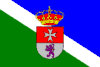 Flag 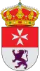 Coat of arms | |
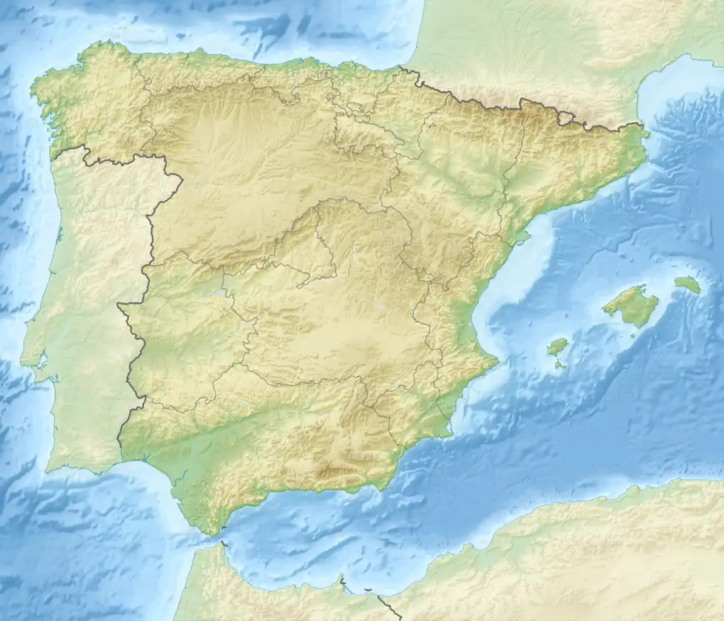 San Martín de Trevejo within Spain | |
| Coordinates: 40°13′N 6°48′W / 40.217°N 6.800°W | |
| Country | Spain |
| Autonomous community | Extremadura |
| Province | Cáceres |
| Municipality | San Martín de Trevejo |
| Government | |
| • Alcalde | Máximo Gaspar Carretero (PSOE) |
| Area | |
| • Total | 23.82 km2 (9.20 sq mi) |
| Elevation | 796 m (2,612 ft) |
| Population (2018)[1] | |
| • Total | 788 |
| • Density | 33/km2 (86/sq mi) |
| Time zone | UTC+1 (CET) |
| • Summer (DST) | UTC+2 (CEST) |
| Website | http://www.sanmartindetrevejo.es |
San Martín de Trevejo (Fala: Sa Martín de Trevellu) is a municipality (municipio) located in the province of Cáceres, Extremadura, Spain. According to the 2008 census (INE), the municipality has 926 inhabitants.
Locally, manhegu (or mañegu) is spoken, a linguistic variety of the Fala language, which is different from both Spanish and Portuguese, but closer to the second.

Apartments in the area
See also
References
- ↑ Municipal Register of Spain 2018. National Statistics Institute.
External links
This article is issued from Wikipedia. The text is licensed under Creative Commons - Attribution - Sharealike. Additional terms may apply for the media files.