Santa Cristina de la Polvorosa | |
|---|---|
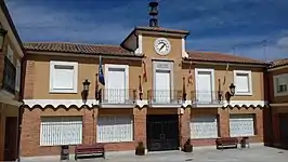 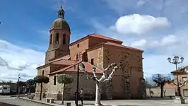 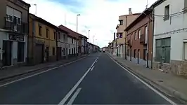 Top down: City Hall, parish church and highway N-525. | |
 Flag  Seal | |
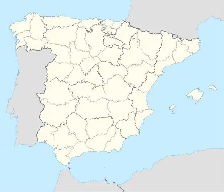 Santa Cristina de la Polvorosa Location in Spain. | |
| Coordinates: 41°59′55″N 5°41′11″W / 41.99861°N 5.68639°W | |
| Country | |
| Autonomous community | |
| Province | |
| Comarca | Benavente y Los Valles |
| Government | |
| • Mayor | Pablo Rubio Pernía |
| Area | |
| • Total | 39.03 km2 (15.07 sq mi) |
| Population (2018)[1] | |
| • Total | 1,075 |
| • Density | 28/km2 (71/sq mi) |
| Time zone | UTC+1 (CET) |
| • Summer (DST) | UTC+2 (CEST) |
| Postal code | 49620 |
| Website | Official website |
Santa Cristina de la Polvorosa is a municipality located in the province of Zamora, Castile and León, Spain.
References
- ↑ Municipal Register of Spain 2018. National Statistics Institute.
This article is issued from Wikipedia. The text is licensed under Creative Commons - Attribution - Sharealike. Additional terms may apply for the media files.