Santa María de los Caballeros, Spain | |
|---|---|
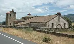 Church of Santa María de los Caballeros | |
 Flag  Coat of arms | |
 Santa María de los Caballeros, Spain Location in Spain. 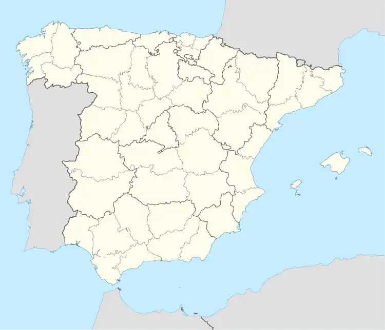 Santa María de los Caballeros, Spain Santa María de los Caballeros, Spain (Spain) | |
| Coordinates: 40°23′20″N 5°27′6″W / 40.38889°N 5.45167°W | |
| Country | |
| Autonomous community | |
| Province | |
| Municipality | Santa María de los Caballeros |
| Area | |
| • Total | 22 km2 (8 sq mi) |
| Elevation | 1,040 m (3,410 ft) |
| Population (2018)[1] | |
| • Total | 73 |
| • Density | 3.3/km2 (8.6/sq mi) |
| Time zone | UTC+1 (CET) |
| • Summer (DST) | UTC+2 (CEST) |
| Postal Code | 05580 |
| Website | Official website |
Santa María de los Caballeros is a municipality located in the province of Ávila, Castile and León, Spain. According to the 2006 census (INE), the municipality has a population of 112 inhabitants.
The parish church of Santa María de los Caballeros was built in the 16th century and its transepts were added in the 19th or 20th century.[2]
References
- ↑ Municipal Register of Spain 2018. National Statistics Institute.
- ↑ Santa María de los Caballeros: Iglesia Parroquial
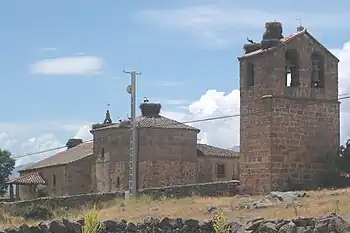
White storks nesting on the church of Santa María de los Caballeros
40°23′N 5°27′W / 40.383°N 5.450°W
This article is issued from Wikipedia. The text is licensed under Creative Commons - Attribution - Sharealike. Additional terms may apply for the media files.