| Shimokita Hantō Quasi-National Park | |
|---|---|
| 下北半島国定公園 | |
IUCN category V (protected landscape/seascape) | |
 | |
 Shimokita Hanto Quasi-National Park in Japan 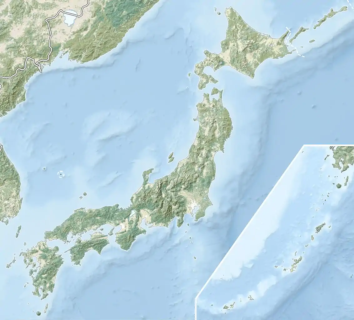 Shimokita Hantō Quasi-National Park (Japan) | |
| Location | Honshū, Japan |
| Nearest city | Mutsu |
| Coordinates | 41°31′33″N 140°55′25″E / 41.52583°N 140.92361°E |
| Area | 18,728 hectares (72.31 sq mi) |
| Established | July 22, 1968 |
| Governing body | Aomori, prefectural governments [1] |
Shimokita Hantō Quasi-National Park (下北半島国定公園, Shimokita-hantō Kokutei Kōen) is a quasi-national park in the Shimokita Peninsula of Aomori Prefecture in the Tōhoku region of far northern Honshū in Japan. It is rated a protected landscape (category V) according to the IUCN.[2] The park, consists of several discontinuous locations, which include:
- the volcanic peaks and caldera lakes of the Osorezan Mountain Range and surrounding forests.
- Yagen Valley, with its hot springs
- the coastal rock formations of Hotokegaura on the west coast of Shimokita Peninsula
- Cape Ōma, the northernmost point of Honshū
- Cape Shiriya, the northeasternmost point Honshū and the Sarugamori Sand Dunes
- Taijima, an island off the coast of Wakinosawa
The park also encompasses a portion of the natural habitat of the Japanese macaque. The mountainous interior is forested with Siebold's beech and Nootka cypress, and coastal areas have stands of tilia and oak.[3] The area was designated a quasi-national park on July 22, 1968.
The borders of the park span the municipalities of Mutsu, Higashidōri, Sai, and Ōma.[4]
Like all Quasi-National Parks in Japan, Shimokita Hantō Quasi-National Park is managed by the local prefectural government.[1]
Gallery


See also
References
- Southerland, Mary and Britton, Dorothy. The National Parks of Japan. Kodansha International (1995). ISBN 4-7700-1971-8
- 1 2 "National Park systems: Definition of National Parks". National Parks of Japan. Ministry of the Environment of the Government of Japan. Archived from the original on 2011-03-23. Retrieved 2008-08-29.
- ↑ "Shimokita Hanto". World Database on Protected Areas. United Nations Environment Programme, World Conservation Monitoring Center. Retrieved 2009-10-05.
- ↑ "List of Quasi-national Parks". Official Home Page of the Ministry of the Environment. Ministry of the Environment Government of Japan. 1994-03-31. Retrieved 2009-10-05.
- ↑ 下北半島国定公園 [Shimokita Hantō Quasi-National Park] (in Japanese). Aomori Prefecture. Retrieved 23 August 2012.
External links
 Media related to Shimokitahanto Quasi-National Park at Wikimedia Commons
- Maps of Shimokita Hantō Quasi-National Park
