Struhařov | |
|---|---|
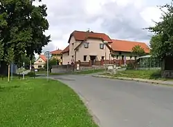 Common in Struhařov | |
 Flag  Coat of arms | |
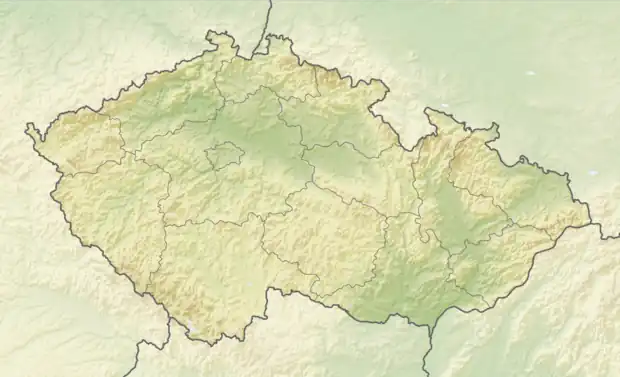 Struhařov Location in the Czech Republic | |
| Coordinates: 49°57′7″N 14°44′40″E / 49.95194°N 14.74444°E | |
| Country | |
| Region | Central Bohemian |
| District | Prague-East |
| First mentioned | 1397 |
| Area | |
| • Total | 5.78 km2 (2.23 sq mi) |
| Elevation | 475 m (1,558 ft) |
| Population (2023-01-01)[1] | |
| • Total | 972 |
| • Density | 170/km2 (440/sq mi) |
| Time zone | UTC+1 (CET) |
| • Summer (DST) | UTC+2 (CEST) |
| Postal code | 251 64 |
| Website | www |
Struhařov is a municipality and village in Prague-East District in the Central Bohemian Region of the Czech Republic. It has about 1,000 inhabitants.
History
The first written mention of Struhařov is from 1397.[2]
Gallery
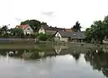 Common pond
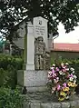 World War I memorial
References
- ↑ "Population of Municipalities – 1 January 2023". Czech Statistical Office. 2023-05-23.
- ↑ "Historie obce" (in Czech). Obec Struhařov. Retrieved 2020-12-12.
Wikimedia Commons has media related to Struhařov (Prague-East District).
This article is issued from Wikipedia. The text is licensed under Creative Commons - Attribution - Sharealike. Additional terms may apply for the media files.