Štítná nad Vláří-Popov | |
|---|---|
 View of Štítná nad Vláří from the west | |
 Flag  Coat of arms | |
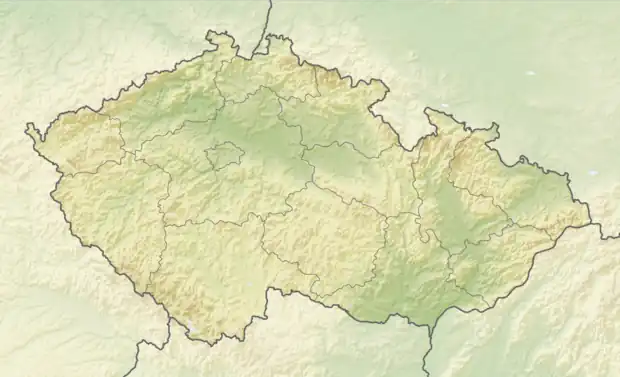 Štítná nad Vláří-Popov Location in the Czech Republic | |
| Coordinates: 49°4′10″N 17°58′31″E / 49.06944°N 17.97528°E | |
| Country | |
| Region | Zlín |
| District | Zlín |
| First mentioned | 1374 |
| Area | |
| • Total | 28.43 km2 (10.98 sq mi) |
| Elevation | 318 m (1,043 ft) |
| Population (2023-01-01)[1] | |
| • Total | 2,134 |
| • Density | 75/km2 (190/sq mi) |
| Time zone | UTC+1 (CET) |
| • Summer (DST) | UTC+2 (CEST) |
| Postal code | 763 33 |
| Website | www |
Štítná nad Vláří-Popov is a municipality and village in Zlín District in the Zlín Region of the Czech Republic. It has about 2,100 inhabitants.
Štítná nad Vláří-Popov lies approximately 30 kilometres (19 mi) south-east of Zlín and 281 km (175 mi) south-east of Prague.
Administrative parts
The municipality is made up of villages of Popov and Štítná nad Vláří.
Twin towns – sister cities
Štítná nad Vláří-Popov is twinned with:[2]
 Košeca, Slovakia
References
- ↑ "Population of Municipalities – 1 January 2023". Czech Statistical Office. 2023-05-23.
- ↑ "Přeshraniční spolupráce" (in Czech). Obec Štítná nad Vláří-Popov. Retrieved 2020-10-01.
Wikimedia Commons has media related to Štítná nad Vláří-Popov.
This article is issued from Wikipedia. The text is licensed under Creative Commons - Attribution - Sharealike. Additional terms may apply for the media files.