Dolní Lhota | |
|---|---|
%252C_n%C3%A1ves.jpg.webp) Centre of Dolní Lhota | |
 Flag  Coat of arms | |
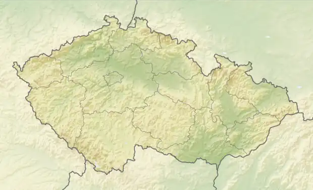 Dolní Lhota Location in the Czech Republic | |
| Coordinates: 49°8′14″N 17°48′45″E / 49.13722°N 17.81250°E | |
| Country | |
| Region | Zlín |
| District | Zlín |
| First mentioned | 1449 |
| Area | |
| • Total | 5.01 km2 (1.93 sq mi) |
| Elevation | 299 m (981 ft) |
| Population (2023-01-01)[1] | |
| • Total | 689 |
| • Density | 140/km2 (360/sq mi) |
| Time zone | UTC+1 (CET) |
| • Summer (DST) | UTC+2 (CEST) |
| Postal code | 763 23 |
| Website | www |
Dolní Lhota is a municipality and village in Zlín District in the Zlín Region of the Czech Republic. It has about 700 inhabitants.
Dolní Lhota lies approximately 16 kilometres (10 mi) south-east of Zlín and 267 km (166 mi) south-east of Prague.
References
Wikimedia Commons has media related to Dolní Lhota (Zlín District).
This article is issued from Wikipedia. The text is licensed under Creative Commons - Attribution - Sharealike. Additional terms may apply for the media files.