Štítov | |
|---|---|
 Chapel of the Visitation of Our Lady | |
 Flag 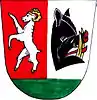 Coat of arms | |
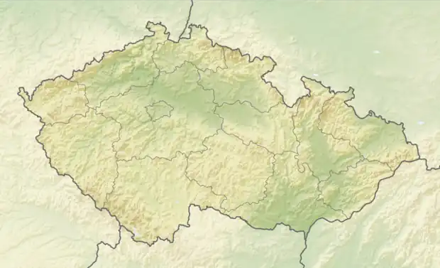 Štítov Location in the Czech Republic | |
| Coordinates: 49°39′58″N 13°40′41″E / 49.66611°N 13.67806°E | |
| Country | |
| Region | Plzeň |
| District | Rokycany |
| First mentioned | 1460 |
| Area | |
| • Total | 2.62 km2 (1.01 sq mi) |
| Elevation | 533 m (1,749 ft) |
| Population (2023-01-01)[1] | |
| • Total | 53 |
| • Density | 20/km2 (52/sq mi) |
| Time zone | UTC+1 (CET) |
| • Summer (DST) | UTC+2 (CEST) |
| Postal code | 338 43 |
| Website | www |
Štítov (Czech pronunciation: [ˈʃciːtof]) is a municipality and village in Rokycany District in the Plzeň Region of the Czech Republic. It has about 50 inhabitants.
Štítov lies approximately 12 kilometres (7 mi) south-east of Rokycany, 24 km (15 mi) east of Plzeň, and 71 km (44 mi) south-west of Prague.
References
Wikimedia Commons has media related to Štítov.
This article is issued from Wikipedia. The text is licensed under Creative Commons - Attribution - Sharealike. Additional terms may apply for the media files.