Bezděkov | |
|---|---|
%252C_common_pond.jpg.webp) Centre of Bezděkov | |
_Flag.jpg.webp) Flag _CoA.png.webp) Coat of arms | |
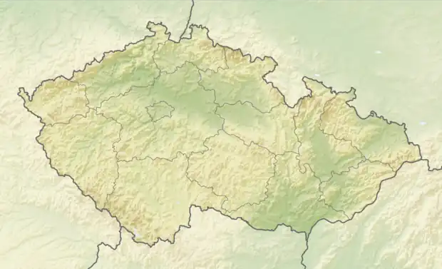 Bezděkov Location in the Czech Republic | |
| Coordinates: 49°49′28″N 13°35′48″E / 49.82444°N 13.59667°E | |
| Country | |
| Region | Plzeň |
| District | Rokycany |
| First mentioned | 1234 |
| Area | |
| • Total | 1.22 km2 (0.47 sq mi) |
| Elevation | 468 m (1,535 ft) |
| Population (2023-01-01)[1] | |
| • Total | 161 |
| • Density | 130/km2 (340/sq mi) |
| Time zone | UTC+1 (CET) |
| • Summer (DST) | UTC+2 (CEST) |
| Postal code | 338 24 |
| Website | www |
Bezděkov (German: Besdiekau) a municipality and village in Rokycany District in the Plzeň Region of the Czech Republic. It has about 200 inhabitants.
Geography
Bezděkov is located about 9 km (6 mi) north of Rokycany and 16 km (10 mi) northeast of Plzeň. It lies in the Plasy Uplands. The highest point is the hill Na Kalvárii at 499 m (1,637 ft) above sea level.
History
The first written mention of Bezděkov is in a deed of King Wenceslaus I of Bohemia from 1234.[2]
Demographics
|
|
| ||||||||||||||||||||||||||||||||||||||||||||||||||||||
| Source: Censuses[3][4] | ||||||||||||||||||||||||||||||||||||||||||||||||||||||||
Transport
Bezděkov is located on the regional railway line leading from Plzeň to Radnice.[5]
Sights
There are no cultural monuments in the municipality.[6]
References
- ↑ "Population of Municipalities – 1 January 2023". Czech Statistical Office. 2023-05-23.
- ↑ "Historie" (in Czech). Obec Bezděkov. Retrieved 2022-09-30.
- ↑ "Historický lexikon obcí České republiky 1869–2011 – Okres Rokycany" (in Czech). Czech Statistical Office. 2015-12-21. pp. 1–2.
- ↑ "Population Census 2021: Population by sex". Public Database. Czech Statistical Office. 2021-03-27.
- ↑ "Detail stanice Bezděkov u Radnic" (in Czech). České dráhy. Retrieved 2023-08-14.
- ↑ "Výsledky vyhledávání: Kulturní památky, okres Rokycany". Ústřední seznam kulturních památek (in Czech). National Heritage Institute. Retrieved 2023-08-14.
External links
Wikimedia Commons has media related to Bezděkov (Rokycany District).
This article is issued from Wikipedia. The text is licensed under Creative Commons - Attribution - Sharealike. Additional terms may apply for the media files.