Chamartín | |
|---|---|
 Church of La Inmaculada and dry field elm | |
 Flag  Seal | |
 Chamartín Location in Spain. 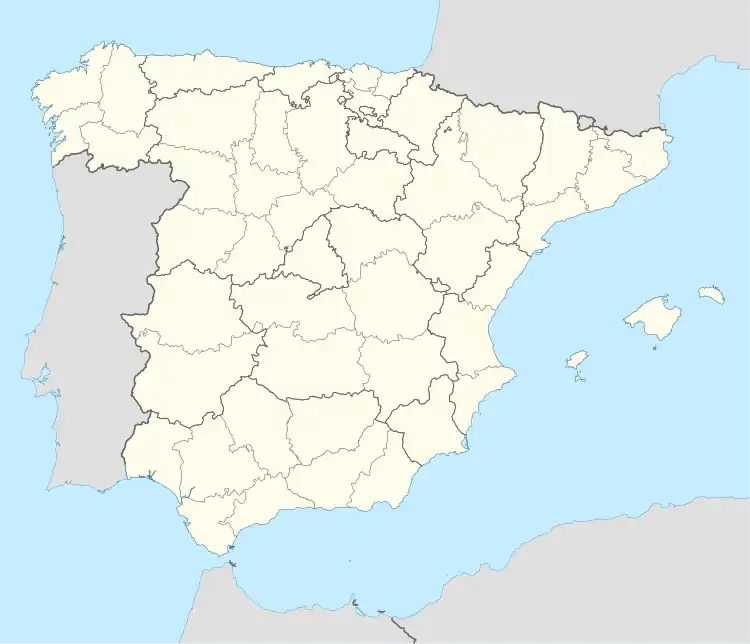 Chamartín Chamartín (Spain) | |
| Coordinates: 40°42′4″N 4°57′29″W / 40.70111°N 4.95806°W | |
| Country | |
| Autonomous community | |
| Province | |
| Municipality | Chamartín |
| Area | |
| • Total | 15.45 km2 (5.97 sq mi) |
| Elevation | 1,197 m (3,927 ft) |
| Population (2018)[1] | |
| • Total | 79 |
| • Density | 5.1/km2 (13/sq mi) |
| Time zone | CET |
| • Summer (DST) | CEST |
| Website | Official website |
Chamartín is a municipality located in the province of Ávila, Castile and León, Spain. According to the 2011 census (INE), the municipality had a population of 91 inhabitants.[2]
References
- ↑ Municipal Register of Spain 2018. National Statistics Institute.
- ↑ "Chamartín (Ávila, Castilla y León, Spain) - population statistics, map and location". Citypopulation.de. Citypopulation.de. 30 December 2013. Retrieved 9 May 2014.
This article is issued from Wikipedia. The text is licensed under Creative Commons - Attribution - Sharealike. Additional terms may apply for the media files.